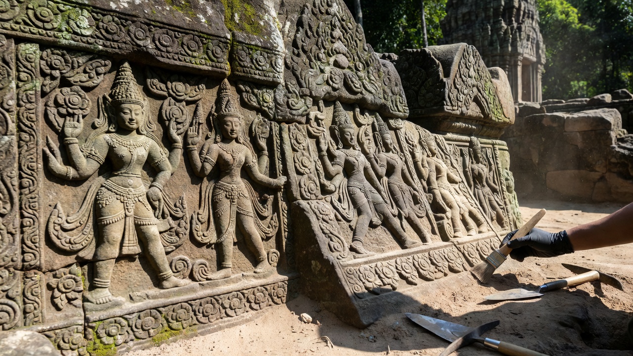
For centuries, the dense tropical canopy of northern Cambodia and eastern Thailand obscured one of the greatest civil engineering achievements of the medieval world: the royal highway system of the Khmer Empire under King Jayavarman VII.
The Technological Breakthrough
Using airborne Light Detection and Ranging (LIDAR) sensors mounted on low-flying aircraft, our research team penetrated the forest foliage to map terrain elevations with millimeter precision. The results revealed over 14 previously unrecorded temple enclosures and 22 artificial reservoirs (barays) lining the imperial route.
Significance for Heritage Conservation
These discoveries prove that the Khmer highway was not merely a military transport corridor, but an urban corridor supporting tens of thousands of farmers, stone masons, and monastic communities.