Historical Overview
Dunhuang served as the vital throat of ancient Eurasian commerce. Located at the western terminus of the Hexi Corridor, this oasis city allowed caravans to replenish water, acquire camels, and hire specialized guides before attempting the treacherous journey around the Taklamakan Desert.
"He who holds Dunhuang holds the gateway between the Middle Kingdom and the Western Regions." — Imperial Han Dynasty Annals
Key Historical Landmarks Along the Route
- Yumen Pass (Jade Gate): Built during the Han Dynasty around 108 BCE, this fortified outpost regulated all trade entering or leaving China. Merchants paid customs duties on raw jade, silk bolts, and rhubarb.
- Yangguan Pass: The southern frontier gate guarding caravans departing toward Khotan and India over the Pamir Plateau.
- Mogao Caves (Caves of the Thousand Buddhas): Over 492 rock-cut shrines housing Buddhist art, statues, and manuscripts created between the 4th and 14th centuries.
Expedition Field Notes & Terrain Details
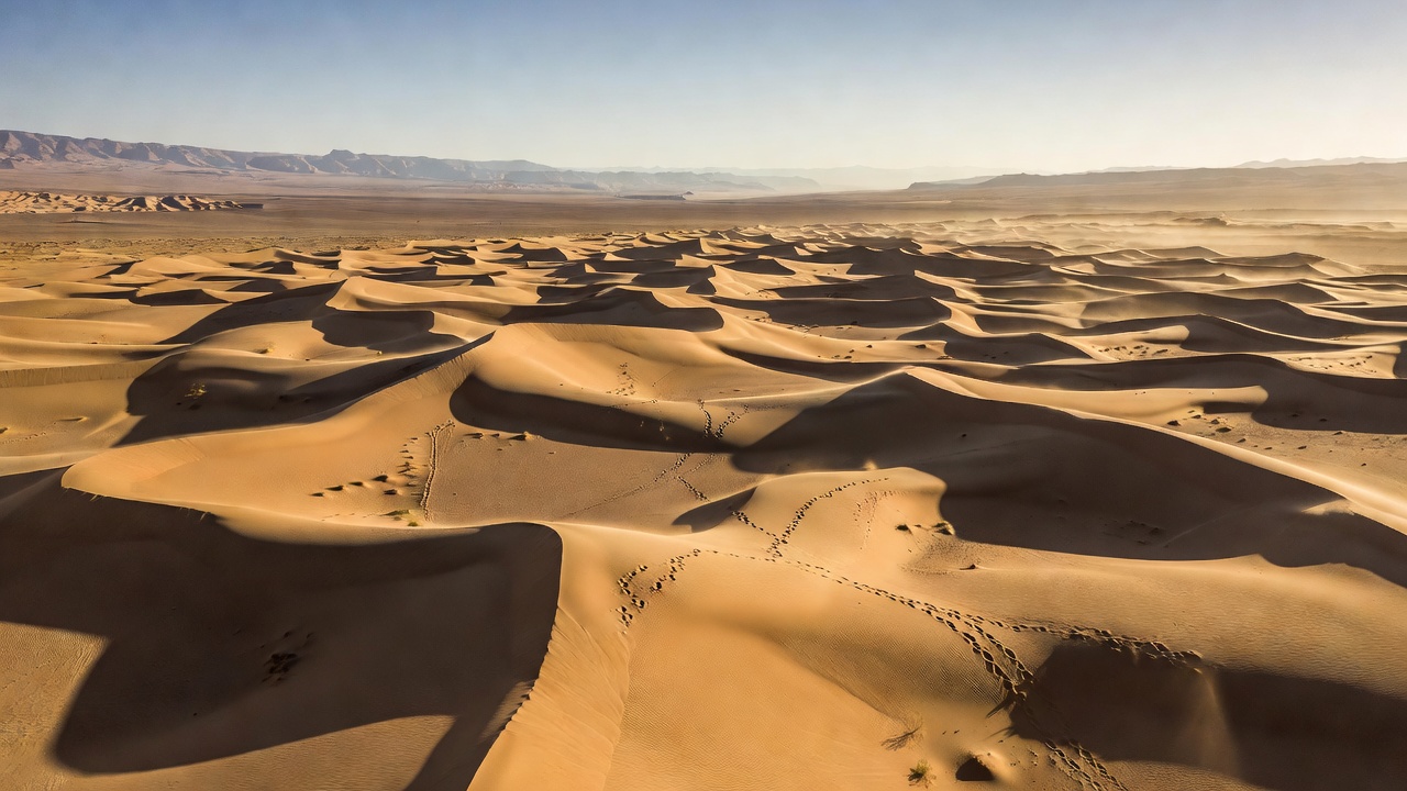
Navigating the Dunhuang Oasis section today requires preparing for extreme diurnal temperature shifts ranging from 42°C in summer afternoon heat down to freezing conditions overnight. The terrain transitions rapidly from gravel desert (Gobi) to massive shifting sand dunes (Singing Sand Dunes).
External Resource Links
For official research and UNESCO heritage archives regarding Dunhuang: